Formerly South Bank of Anping Port Diversion Dike(原安平港導流堤南堤)
Updated:2024-06-05
4840
Introduce
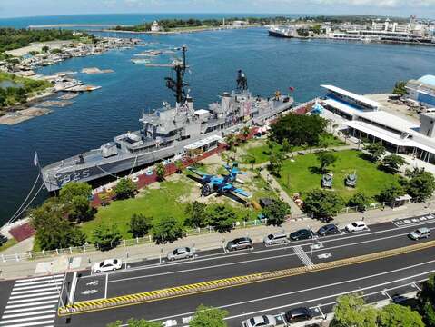
During 200 years from the Dutch occupation through the Kingdom of Tungnin to the reign of Emperor Daoguang, Qing dynasty, Anping was an isle separated from Taiwan Island. The wasters between Anping and Tainan coast was called the Taijiang Bay with water at 5-6m deep where large vessels could sail across. Anping is one of a series of sandbanks originally called Yikunshen. There are another six sandbanks between Anping and the estuary of the Erren River. All seven sandbanks were called one to seven Kunshen’s. Anping and Beixianwei (Bassemboy) sandbank are separated by waters. As it is the passage to the Taijiang Bay, the Dutch built Zeelandia (Anping old Fort) to safeguard the passage. The Luermen River separating the north of Beixianwei and Xixinggang sandbanks is another passage to the Taijiang Bay.
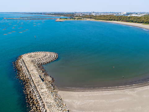
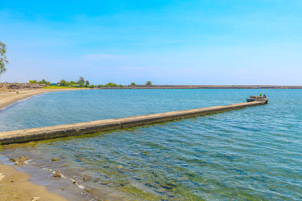
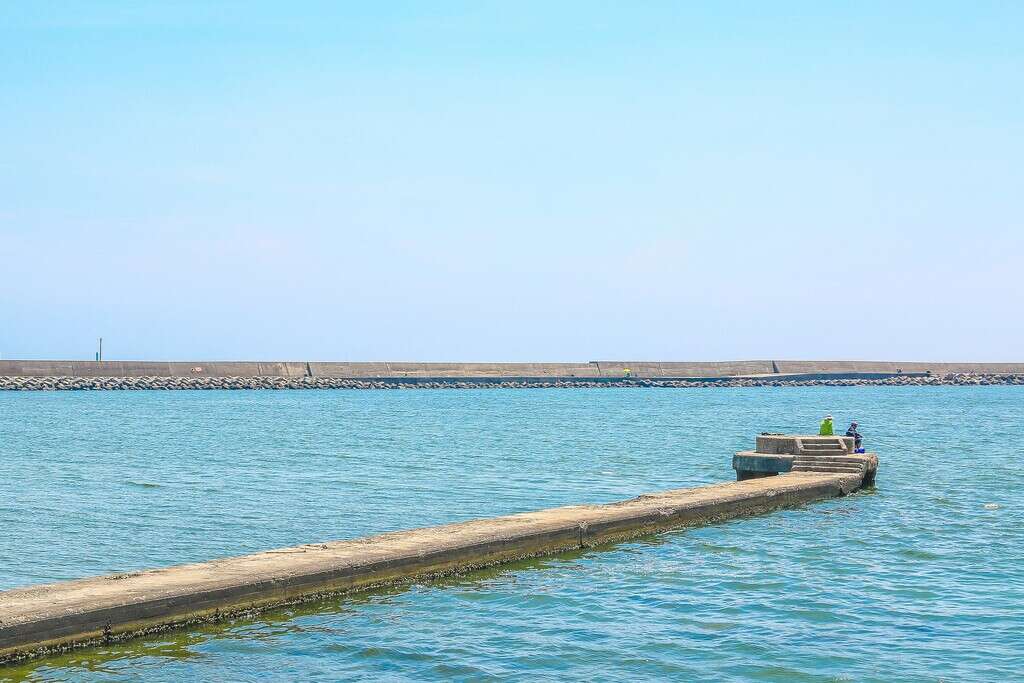
The coast of the old Anping Harbor formed by sand. When it pours, the flood will carry the sand from the upper course to the lower course. As the sand blocked by the wind and wave of the Taiwan Strait deposits in place and forms a long and narrow sandbank. The left and the right sandbanks were formed at sea at 2km off the National Tainan Senior Marine Fishery Vocational School. These sand banks border Xiakunshan in Tainan City in the south and link Anshun Village in Xinfeng (Annan District today). Although a bay is formed, due to the tidal and wind direction changes in the four seasons, both sandbanks (old Anping Harbor) are about 400m apart. As the harbor is a shallow sandbank, waves are common. Although waters come across, the deepest part is only 1m at the low tide, and changes are common. When waves begin, the location of the watercourse changes completely. Due to mud and sand deposits, the straight line between the old harbor to the old canal in Tainan City is extremely shallow. This straight-line watercourse has thus become the Tainan City Drainage. The watercourse between the lower course of the Yanshui River, the passage to the old canal, and the harbor has been blocked by sand carried down by the flood, and the canal’s function was lost. A harbor engineering project was implemented in 1931 to cut away the sandbank peninsula at about 1km south of the old harbor to connect with the new canal, in order to build the new Anping Harbor. The project was initiated in October 1935 and completed in March 1938 after 29 months. Although the scale was not large, compared to the depth of the old harbor at 3m during low tide, the new harbor occupies an area of 100m allows free access of passenger and goods vessels and sailing boats at low tide. Levees were built along the watercourses on the south and north banks of the harbor. At the end of the levees there are two diversion dikes of 160m long, and light signals were equipped at the tip of each dike.
The coast of the old Anping Harbor formed by sand. When it pours, the flood will carry the sand from the upper course to the lower course. As the sand blocked by the wind and wave of the Taiwan Strait deposits in place and forms a long and narrow sandbank. The left and the right sandbanks were formed at sea at 2km off the National Tainan Senior Marine Fishery Vocational School. These sand banks border Xiakunshan in Tainan City in the south and link Anshun Village in Xinfeng (Annan District today). Although a bay is formed, due to the tidal and wind direction changes in the four seasons, both sandbanks (old Anping Harbor) are about 400m apart. As the harbor is a shallow sandbank, waves are common. Although waters come across, the deepest part is only 1m at the low tide, and changes are common. When waves begin, the location of the watercourse changes completely. Due to mud and sand deposits, the straight line between the old harbor to the old canal in Tainan City is extremely shallow. This straight-line watercourse has thus become the Tainan City Drainage. The watercourse between the lower course of the Yanshui River, the passage to the old canal, and the harbor has been blocked by sand carried down by the flood, and the canal’s function was lost. A harbor engineering project was implemented in 1931 to cut away the sandbank peninsula at about 1km south of the old harbor to connect with the new canal, in order to build the new Anping Harbor. The project was initiated in October 1935 and completed in March 1938 after 29 months. Although the scale was not large, compared to the depth of the old harbor at 3m during low tide, the new harbor occupies an area of 100m allows free access of passenger and goods vessels and sailing boats at low tide. Levees were built along the watercourses on the south and north banks of the harbor. At the end of the levees there are two diversion dikes of 160m long, and light signals were equipped at the tip of each dike.
Information
TEL +886-6-2213597
Address Anping Dist., Tainan City Taiwán, R.O.C
Category Culture
Open Hours Open all day